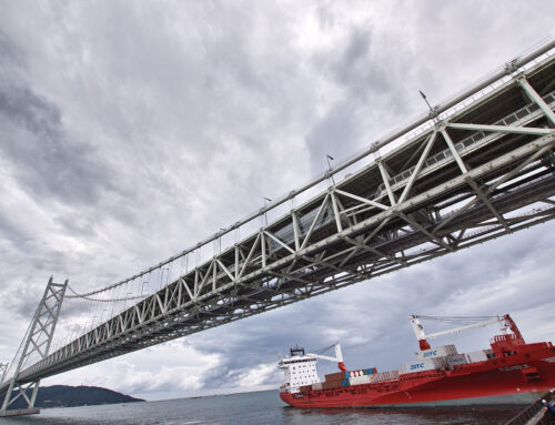
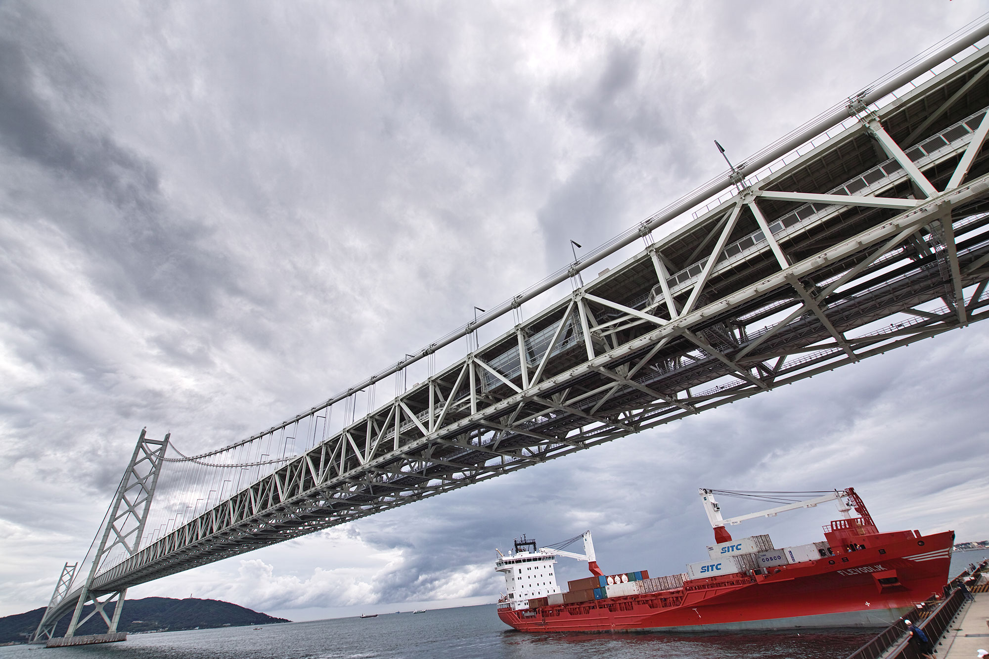
The technology used for inspection is continually advancing. As tools and strategies evolve, the data collected by inspectors becomes more precise, which increases safety in the workplace and around infrastructure, like bridges, dams, roadways, and trains, that people use every day. Today, a process called georectification can lend new perspectives and add another dimension to existing inspection practices.
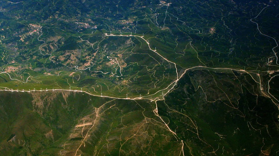
Remotely captured images, think satellite images, scanned maps, aerial photos, and geophysics survey results, can be connected within a coordinate system by way of georectification. The process allows viewers to locate the once disconnected images within an accurate map. Though there are different methods of georectification, one way to complete the task is to point out places in an image that have a known latitude and longitude or location on a map, and alter the proportions in order to create an accurate map projection.
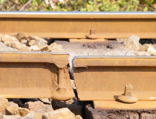
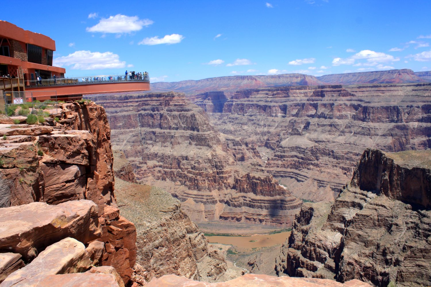
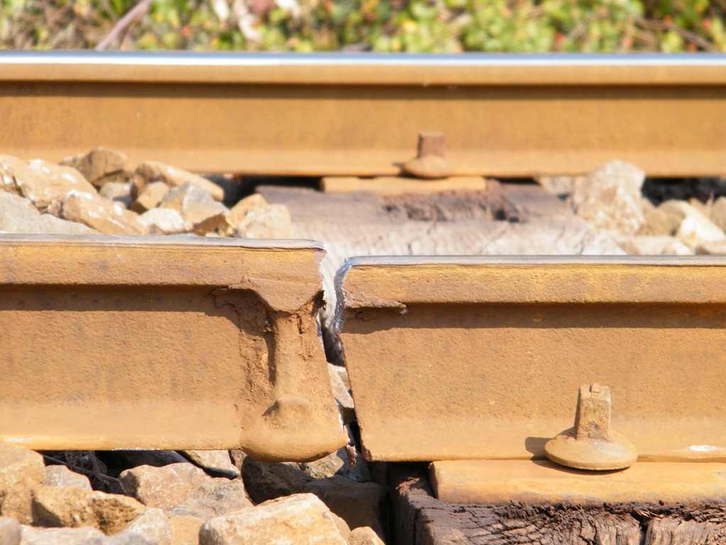
Georectification can be a handy inspection tool. When used to inspect dams or other man-made structures, the process can aid inspectors by recording changes over time. Inspectors can compare older images to new images, which would show them how the structure has changed, eroded, corroded, or shifted throughout the years. Georectified images, especially aerial views, may lend a viewpoint or point of comparison that would be inaccessible during a visual inspection on the ground.
Procedures and technology change, but the point of inspection remains the same: to protect people and prevent unnecessary disasters.
Leave A Comment